Saturday, November 7, 2015

Bay Farm Island 2015-11-05

It has been a long time since I did a new Bay trail segment, but I was back with my faithful hiking companion to complete the ~6 miles Bay Farm Island loop. I had walked the Shoreline Dr. in Alameda Island on day 3 of my SF Bay Walkabout. Apollo and I started our walk today from Shoreline Dr. & Park St. heading towards the bridge over the bay.


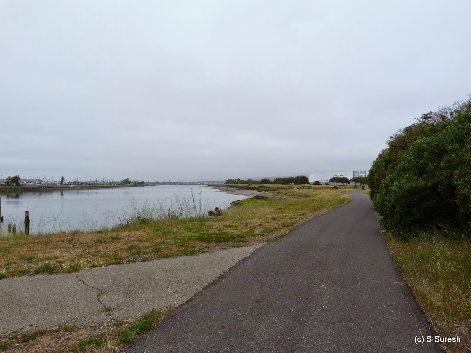
A paved blacktop trail for pedestrians runs all along Shoreline Dr. from Crown Memorial Beach (Westline Dr.) all the way to Doolittle Dr. We walked only a short stretch of this today of which a portion of it was an undeveloped dirt trail right by the bay and behind a residential neighborhood. And took a moment to reminisce by the sculpture depicting the friendship between a boy and a dog.


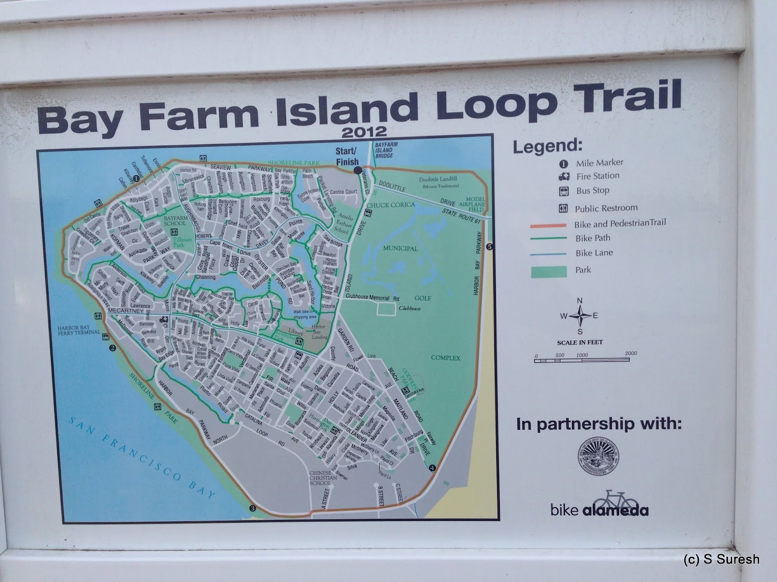
This segment connects back to the black top bike trail that goes under Doolittle Dr. and crosses the bay by a bright blue draw bridge to Bay Farm island.  We turned right and proceeded on the wooden bridge to start the Bay Farm Island Loop trail in a counter clockwise direction.


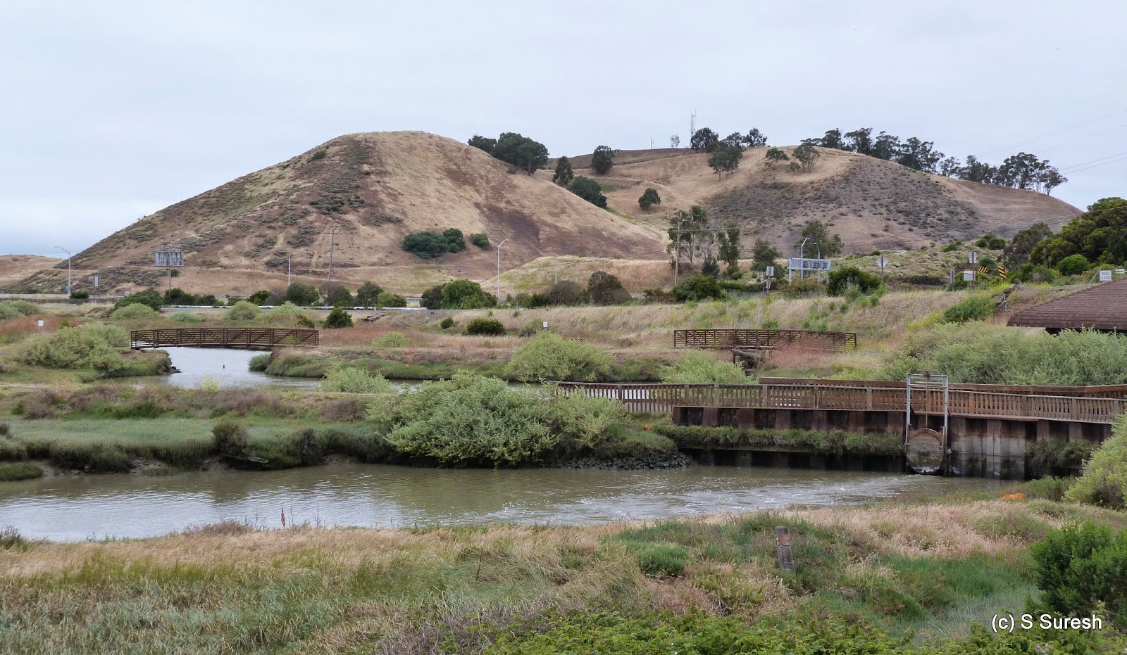
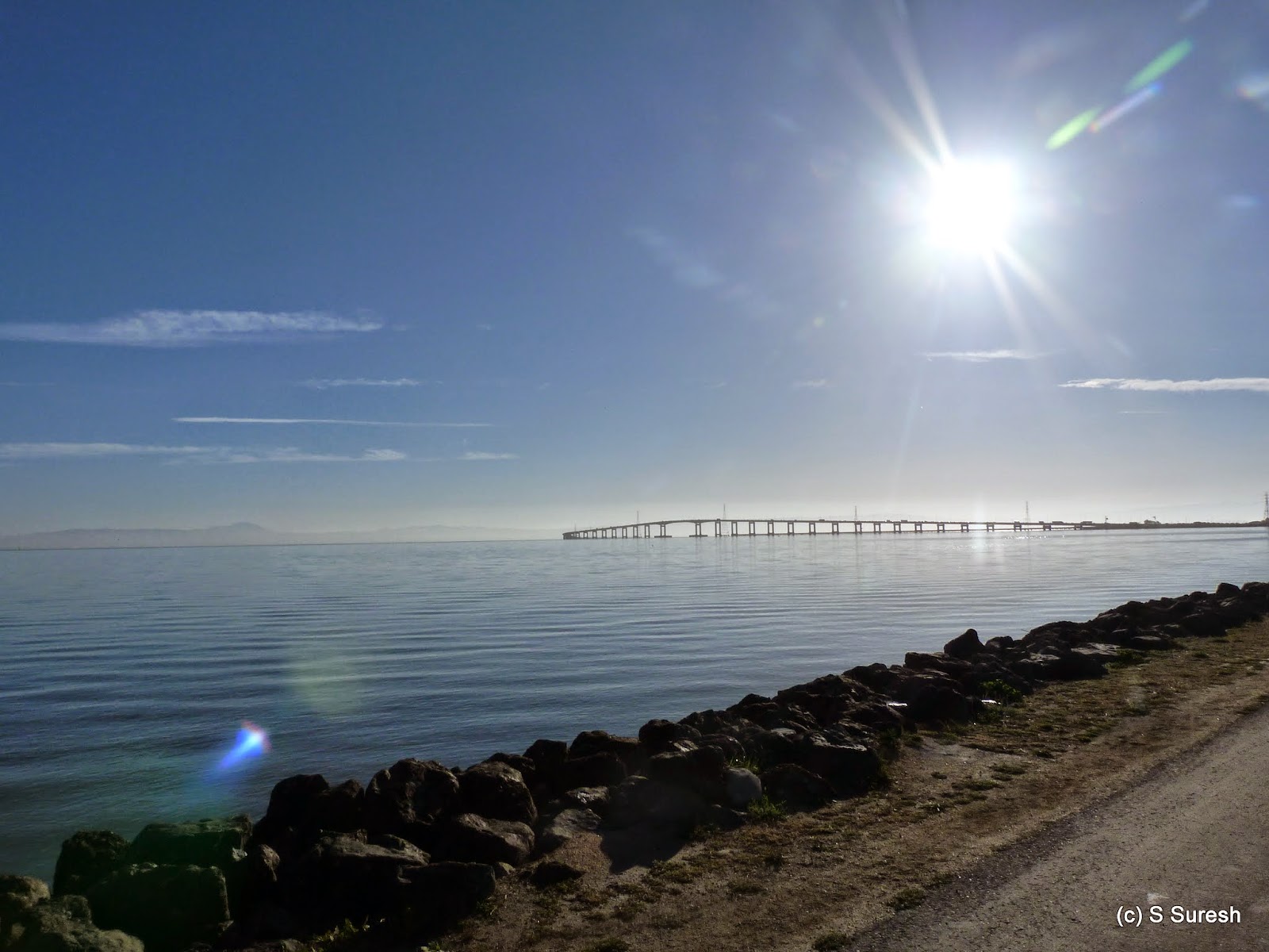
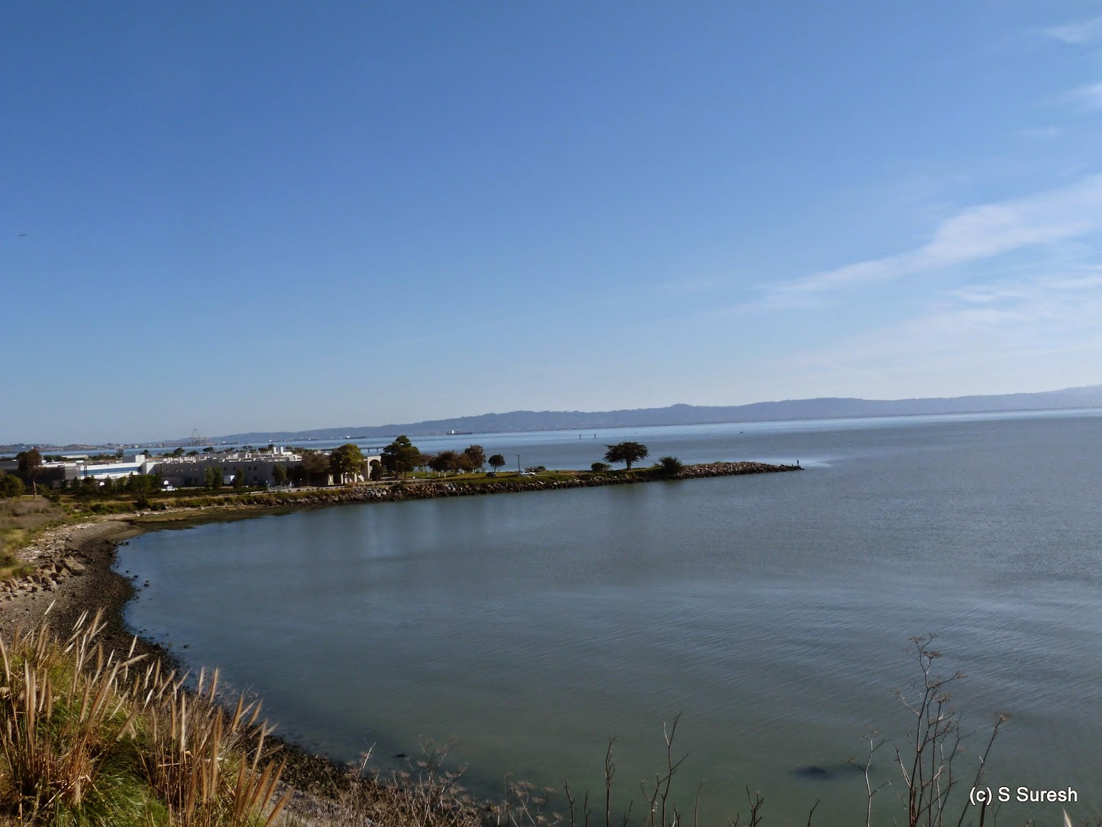
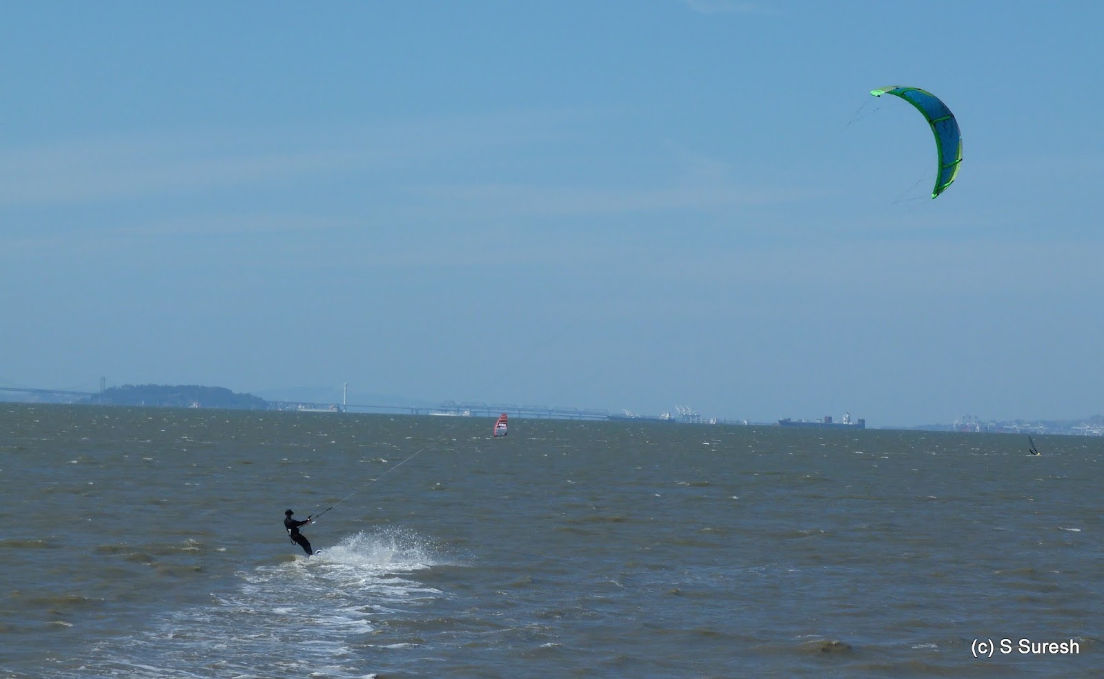
For the next mile and a half, in addition to the blacktop trail popular with cyclists and joggers with strollers, there is a dirt trail that runs by it that pedestrians and dog walkers gravitate to. As you walk in a westerly direction, the trail offers fantastic views of the bay bridge and San Francisco skyline. 

As if the views were not enough, the crisp autumn morning by the bay treated us to a gentle sea breeze with the unmistakable salty freshness. The trail curves around the island in a south easterly direction for the next mile and a half. The beauty of the walk was only marred by a very noisy group of women talking about their lives happenings! The solution to this problem was surprisingly simple - not outrunning them but pausing to enjoy the scenery while they went ahead!


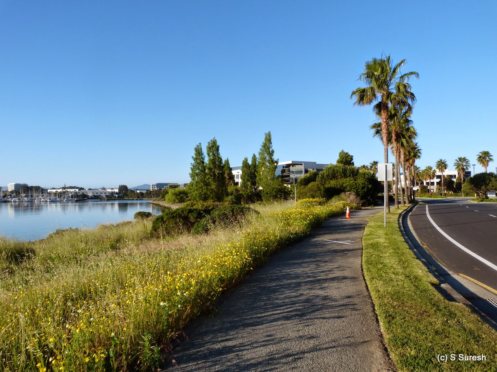
You will go right by the ferry terminal as the trail becomes more urban in character. Office complexes, including Peet's Coffee and manicured lawns on one side and bay waters on the other will set the stage for an urban walk by the bay in this section.


For the next mile, the trail runs parallel to Harbor Bay Pkwy with office complex dotting both sides. Abbott's labs and Oakland Raiders offices are in this section. While no longer by the bay, this stretch is still pleasant to walk by.


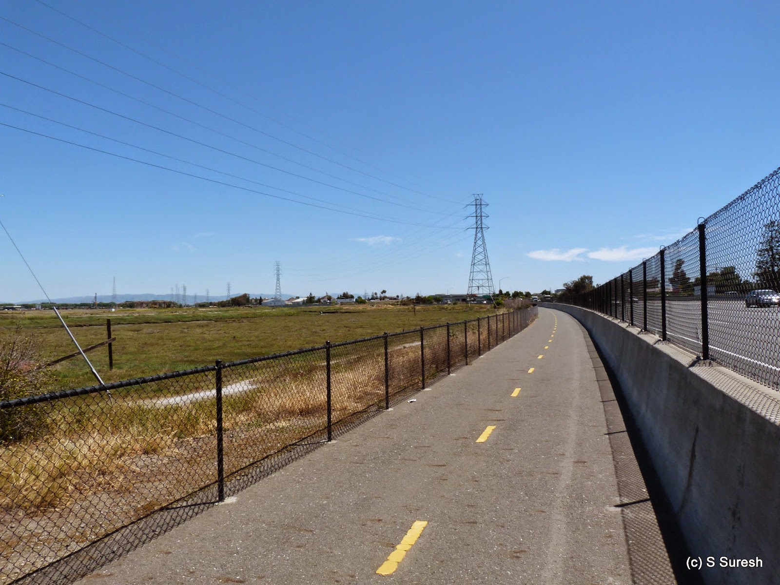
The trail follows Harbor Bay Pkwy and turns in a northerly direction at the junction of Ron Cowan Pkwy. The next mile is unfortunately a dry section of this loop, with Oakland airport on one side and a golf complex on the other, with construction happening in both properties. 

At the end of this drab section is Mount Trashmore! No, I am not joking. That is the name of the former landfill at the intersection of Doolittle Dr. & Harbor Bay Pkwy. The landfill is fenced off and the trail once again starts running by the bay on the home stretch of the loop. Well, it may be called Mt. Trashmore, but I was moved by the two quotes someone had painstakingly painted in the area. 


The loop completes with this section coming back to the draw bridge. Crossing over the bridge and retracing our steps, we were back on Shoreline Dr. in Alameda island.


The 9+ mile walk, including the ~6 mile Bay Farm Island Loop trail was one of my longer excursions with Apollo. Under ideal conditions like today, I suspect that Apollo could keep going longer.

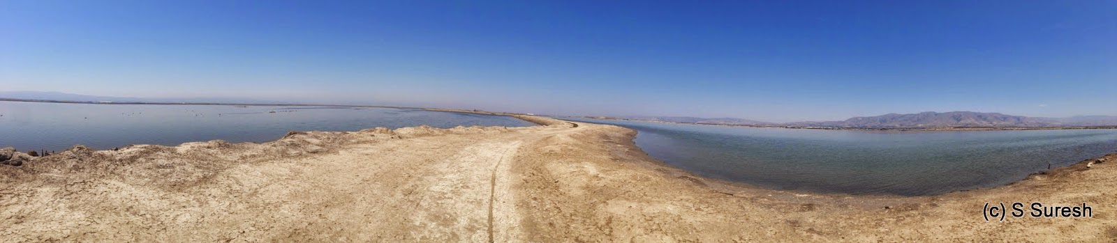
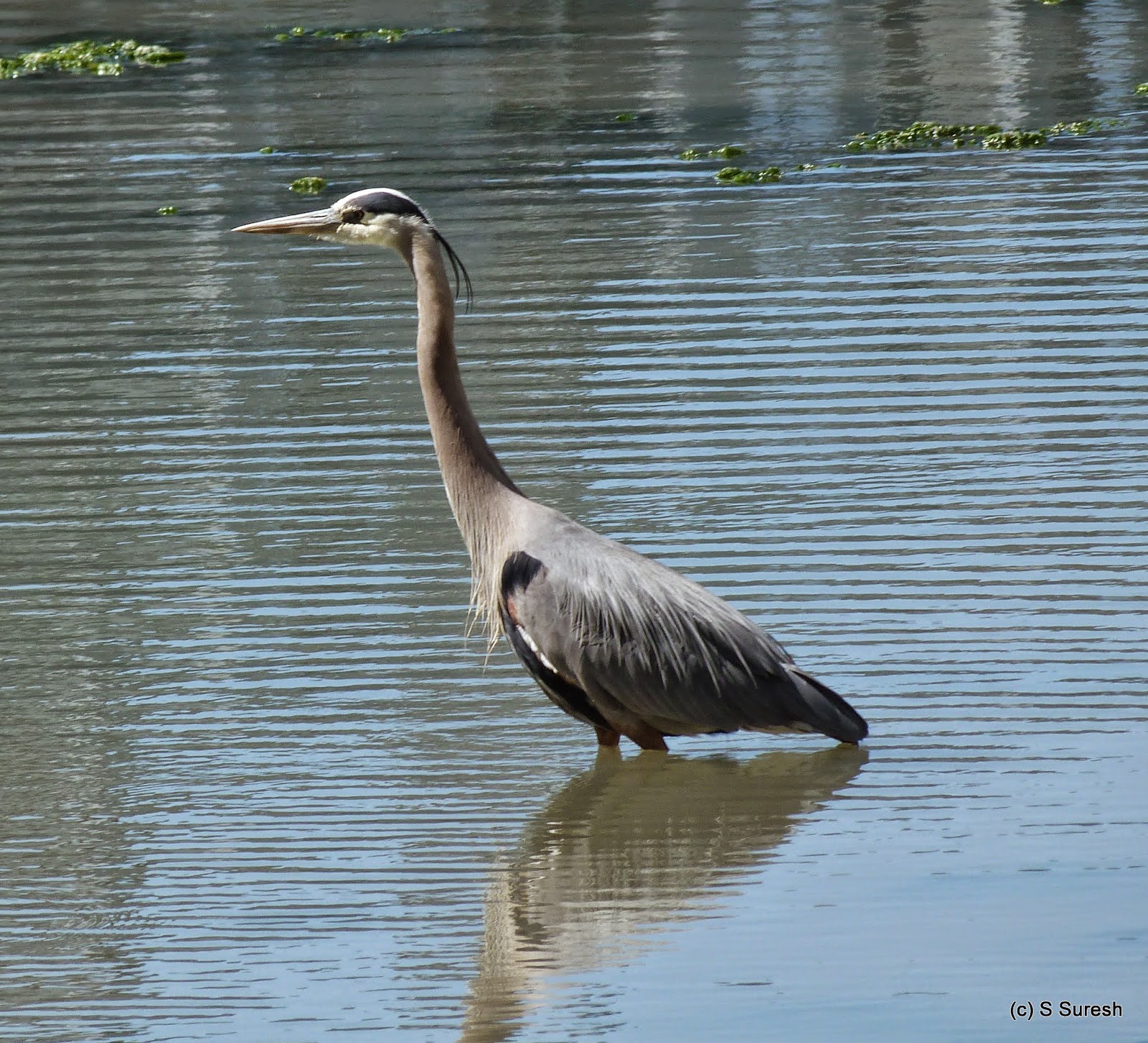
More pictures from our walk today.
#SFBayTrail #BayFarmIslandLoopTrail #BayFarmIsland

Tuesday, May 26, 2015

Newark Slough 2015-05-25

Located off Thornton Road and by Hwy 84, Newark slough is part of the Don Edwards San Francisco Bay National Wildlife Refuge. I'd mentioned in the blog on Day 7 that I will return to this spot - and it happened to be today.

Newark slough trail is a 5 mile loop that takes you close to the Dumbarton bridge and is bordered by the slough almost all the way. You can reach the trail from the parking lot taking the Tidelands trail and walking across a boardwalk. 


It was cloudy this morning, with a cool breeze and the temperature in low 60s. Perfect for walking this completely exposed trail. Newark slough trail is a dirt trail that is constructed on levees bordering wetlands being restored from erstwhile salt ponds. There is ample evidence of salt ponds along the way, though.


We went round the loop in an anticlockwise direction. For more than a mile, you will have Coyote Hills Regional Park on your right and Dumbarton bridge ahead. After the two mile marker, the trail turns left and heads in an easterly direction.
Black-necked Stilt


I was expecting to see lot of shore birds, but could see only mallards, gulls, american avocets and black-necked stilts today. 


American Avocet
After the three mile marker, the trail turns north, subsequently west and takes you to the spot where you started from. After completing the large 5 mile loop, Jaya, who accompanied me today and I decided to also complete the Tidelands trail.

Tidelands trail goes around the hill providing a variation from the slough trail that is by the marshlands. Much shorter, the less than two mile loop by tidelands trail allows dogs.


We completed the nearly 7 mile hike in little over two hours. Here are few more pictures from the hike.
#SFBayTrail #BayTrail #NewarkSlough 


Saturday, May 2, 2015

Day 7: 2015-05-02 Mountain View - Alviso

Home stretch! 

All that was needed to complete my planned walkabout was a 17 mile "day trip". I started day 7 at Mountain View, picking up the bay trail at Crittenden Ln and making my way towards Sunnyvale. This was the place I made a mistake on day 1, so I was absolutely sure where I was going today.


Beautiful Snowy Egret
It was cloudy and slightly chill at around 50 degrees this morning. The sun didn't bother me for a while as I headed eastward in Moffett bay trail. For the first two miles, the trail is bordered by water/slough on both sides. There were plenty of shorebirds and waterfowl in this area.

Over the next three miles, the trail will meander with NASA, Lockheed Martin & Sunnyvale Waste Water treatment plants on one side and water on the other. All through thus far and for the next two more miles, the hike is on a dirt trail, built on a levee. 

After passing the sports complex on the right, the trail enters Baylands park and for about a mile or so, will be a paved. I continued on Gold St connector, Gold St, Elizabeth St and Hope St to reach the Alviso Marina County Park. 


Expansive Alviso Slough Scenery


Alviso is a community in San Jose by the wetlands and the park is the staging area for a 9 mile loop around the Alviso slough. Alviso slough is a unique experience. 9 miles of trail built on levees with water all around you is absolutely one of a kind and a fitting end to my hike. 


American White Pelican
If you are a bird watcher, Alviso slough as well as Moffett bay trail will be a treat. I saw a variety of waterfowl, shorebirds, herons, pelicans and more today. An adult American White Pelican feeding was the highlight of the day.

And so, some 6+ hours and 17+ miles later, I completed the SF bay walkabout. While I was happy that I completed the ~150 mile hike in 7 days, it left me somewhat empty...  Walking for 8+ hours, I found myself being in the moment and not thinking about anything else for long periods... Just focusing on what I was seeing, hearing and experiencing. This is the closest I've come to what could be characterized a meditative experience. 

I do plan to go back to places that I couldn't fully experience. The 5 mile loop around Newark slough & the 6 mile loop around Bay Farm island (where Oakland airport is located) are on top of the list. If and when I do those sections, I'll add on to the blog. SF bay trail continues in 5 more counties further north. May be, I'll take them on too.

Key Stats from Day 7


  • Distance covered: 17 miles
  • Elapsed time: 6 hours 30 minutes (including breaks)
  • Breaks: About 20 minutes
  • Cities: Mountain View, Sunnyvale, Alviso (San Jose)
  • Dog friendly segments: Bay trail in Sunnyvale (portions of Moffett Bay Trail)
  • Birds observed: Willets, Black-necked stilts, Mallards, Great Egrets, Snowy Egrets, American White Pelicans, Western Gulls, Ravens and Double Crested Cormorants
Cumulative Stats
  • Covered 145 miles
  • In 7 days, an average of nearly 21 miles per day
  • Across 4 counties - Santa Clara, San Mateo, Alameda and San Francisco
  • Walking on an average 7 hours 20 minutes each day

Pictures (60+) from the hike today. Complete map of the 7 day walkabout.


Thursday, April 30, 2015

Day 6: 2015-04-27 San Mateo - Menlo Park

Warm start to Day 6

The temperatures had jumped dramatically by more than 10 degrees overnight making this a warm day right at the start from San Mateo. Without a breeze, the hike this morning proved very different from last evening. The first four miles of the bay trail in Foster City is right along the bay. 


San Mateo Bridge


In about two miles, I passed the San Mateo bridge with the views very similar to what I'd experienced yesterday and the day before. 


Dirt trail segment
The bay trail meanders around Belmont slough for the next two miles before crossing over into Redwood Shores area. It was a Monday morning and there were plenty of cars streaming into the offices here, including Oracle. For two more miles, the trail hugs the Belmont slough on one side and Oracle & Bridge Pkwy on the other. There is a nice dirt trail segment for about 1/2 a mile in this section that's worth checking out.


Great Blue Heron
It was turning out to be too warm and I decided to save some time by cutting across Redwood Shores using Shell Pkwy. I was glad I did as I chanced upon a beautiful Great Blue Heron in the waterfront of the residential area. I did another two miles in the trail by Redwood Shores Pkwy before crossing over to Skyway Rd in San Carlos. 

After little more than a mile in Skyway Rd that runs parallel to San Carlos airport, I was once again walking the bay trail, this time right next to Hwy 101. With the temp around 82 degrees, no shade, no breeze, the remaining hike for the day wasn't the most enjoyable. 


Skyway Rd - Whipple Ave
The bay trail runs parallel to Hwy 101 from Skyway Rd until Whipple Ave. A newly constructed segment continues from there until Bair Island Rd. Bair Island had lot of construction going on. I used Bair Island Rd, passed by Redwood City floating community that has house boats in Redwood creek, Maple Ave, Blomquist St to reach Seaport Blvd. This, and the next three miles in E Bayshore Rd and Haven Ave were dry (and hot) segments of my walk.


1 Hacker Way


I had intended to do the perimeter trail in Bedwell Bayfront park in Menlo Park, but given how hot it was, I decided to skip that 2 mile loop and continued straight on to #1 Hacker Way, my destination for day 6. 


I have just one ~18 mile hike from Sunnyvale - Alviso left to complete my 7 day walkabout. I intend to do the day trip once the temperatures cool off just a little in another day or so.

Key Stats from Day 6


  • Distance covered: 20.5 miles
  • Elapsed time: 8 hours (including breaks)
  • Breaks: About 45 minutes
  • Cities: Foster City, Redwood City, San Carlos, Menlo Park
  • Dog friendly segments: Bay trail in Foster City, Redwood Shores, Bedwell Bayfront Park - essentially everything I did today.
  • Birds observed: Black-necked Stilt, Clark's Grebe, Black-crowned Night-Heron, American Avocet, Snowy Egret, Great Blue Heron (as well as some black-tailed jackrabbits)

Pictures (60+) from the hike today. Complete map of the 7 day walkabout.

Wednesday, April 29, 2015

Day 5: 2015-04-26 Brisbane - San Mateo

I started the walk today bright and early, before 7:30 am from Brisbane. Heading south, the trail first goes around Oyster Point where there are several companies. This being Sunday, I didn't run into the office crowd, but just a handful of local folks walking and jogging the trail.

Point San Bruno Park
The bay trail is well paved and in excellent condition as it goes around Oyster point. About 2 1/2 miles into the walk you will come upon the fancy looking South San Francisco Ferry terminal. In general, the views from this section of the trail is beautiful, but it gets especially nice around Point San Bruno park. You will also get to see take offs from SFO airport, both eastward and westward.  

A friendly couple took a photograph of me with the makers of Tamiflu (Genentech) offices in the background. As you near the airport area, the scenery starts changing to become more dry. Soon, you will be in Airport Blvd. On the left is the SamTrans peninsula, a 2 mile detour by the bay. The peninsula also houses a homeless shelter. I did go around this section before joining the bay trail at Airport Blvd & N Access Rd. 

The trail goes underneath the various freeways and ramps feeding the SFO airport for about a mile. Bay trail is not yet complete around SFO airport, so between San Bruno in the north and Millbrae in the south, I had to take to city roads. To make this somewhat boring section interesting, I'd recommend charting a route that includes San Bruno downtown (San Mateo Avenue) and Broadway Ave in Millbrae. I also chose to visit Third Eye Restaurant, a Nepalese restaurant in Millbrae and was glad to note that everyone's family back in Nepal is safe after the recent earthquake.  

Crossing over Hwy 101 on Millbrae Ave, I caught up with the trail again at Bayfront park. This park and the next couple of miles or so provides excellent views of air planes landing in SFO and is highly popular with folks who want to enjoy this sight. 

Bluff Trail, Coyote Point
Leaving Burlingame behind, the trail enters San Mateo and the beautiful Coyote Point Recreation Area. With the wind and surf, this is a popular spot with wind surfers and parasail surfers. I would recommend taking the bluff trail into the Coyote Recreation Park, for the views from within this area is simply amazing. I was also lucky to observe sting rays swimming in the lagoon here, as well as some great pictures of birds.

Parasail Surfing
The stretch from Bayfront Park to Coyote Recreation Area is also popular with anglers. All in all, lot of recreation enthusiasts were out there enjoying the nice afternoon with a gentle breeze. Another mile south is Seal point with interesting wind walks and structures in San Mateo. The bay was filled with several people parasail surfing near San Mateo bridge. And that had brought me to my destination for the day - Mariners Point Golf Center.

Key Stats from Day 5

  • Distance covered: 20.5 miles
  • Elapsed time: 9 hours 10 minutes (including breaks)
  • Breaks: About 90 minutes
  • Overnight stay: Howards Johnson Express Inn, San Mateo
  • Cities: Brisbane, South San Francisco, San Bruno, Millbrae, Burlingame, San Mateo
  • Dog friendly segments: All portions except Coyote Point Recreation Area. It is possible to stick to the trail and walk your dog here.
  • Birds observed: Greater Scaup, Whimbrel, American Coot, Double Crested Cormorant, Snowy Egret, Willet, Mallard [as well as some sting ray and a gopher snake]
  Pictures (80+) from hike today. Complete map of the 7 day walkabout.


Tuesday, April 28, 2015

Day 4: 2015-04-25 San Francisco - Brisbane

I was back on my feet this cool, crisp, Saturday morning near Fort Point in San Francisco along with Jaya who wanted to walk with me until Embarcadero. A nice April showers had passed over bay area late Friday night and the ground was still wet from the rains. The damp ground didn't dampen the spirits of the San Franciscans... so many of them were out on that morning, jogging, walking, running, dog walking, exercising... in general, enjoying life!


The first seven miles of the bay trail goes through several beautiful San Francisco tourist spots. About a mile from our start, we were at Crissy fields, a delightful place to take dogs to. We were treated to a rare sight of a brown pelican grooming itself in the Crissy field marsh. So were some double crested cormorants. 


Aquatic Pk Pier, Alcatraz
In another mile or so, we were at the end of Marina Dr and treated ourselves to a cup of Philz Coffee. Fort Mason Center quickly followed providing some breathtaking views of the Golden Gate bridge, Alcatraz and the curved aquatic park pier. After crossing Ghiradelli square, we were at Jefferson street. A hot pepper aficionado, I was only happy to spend some time at Pepper Palace. They had every type of hot sauce and chili powders, including Carolina Reaper powder, now the king of peppers after upending Naga Jolokia and Habanero! 


Bay Bridge
Continuing on Embarcadero, the bay trail goes past Fisherman's wharf, Pier 39, Exploratorium before coming upon the Ferry building and marketplace. I said bye to Jaya and continued on. About 7 miles into the walk, I was at AT&T park, home of the SF Giants. The trail continues around AT&T park and goes by McCovey cove, past China basin. 


McCovey Cove
For the next 2 1/2 miles, the trail goes by an industrial zone in San Francisco. The walk by Illinois St. and Cargo way is nothing to write home about, but at the end of this stretch, the trail comes to Heron's Head Park. There is an amazing Ecocenter at this location. There is always something new to learn about our environment and this place, completely off grid with their own solar energy system, rainwater harvesting, living roof, native landscaping with permeable pavement built with sustainable building materials is simply amazing.

From Heron's Head, the trail moves to India Basin shoreline and Hunters point. The trail is not yet developed in this area. I walked through Innes Ave, Kiska Rd, Ingalls St and Gilman Ave to reach Candlestick Point Recreation Park. Hunters point may be just miles away from the vibrant San Francisco Embarcadero area, but the economic disparity was so stark. 


Candlestick  Park demolition
I got to see Candlestick Park, the former home of 49ers being torn down. The trail through Candlestick Point Recreation Park has some fantastic views of the bay, the bay bridge and SF. Again, the bay trail is not well developed here. I had to improvise, crossing over Hwy 101 and reaching Tunnel Ave. 

The two mile walk in Tunnel Ave seemed a scene from Mad Max movie to me. There wasn't any traffic, an oil tanker in the distance, the breeze bringing up some dust and couple of unusual motorized bicycle conversions zipping by me. I was glad to reach Laguna Rd and make my way to Sierra Point Pkwy where the Brisbane Lagoon provided a nice change of scenery from Tunnel Ave. 


Brisbane marina
Crossing over Hwy 101 again, I was at my destination for the day, Brisbane. While Doubletree was right there, I walked around the Brisbane marina before calling it a day.

Key Stats from Day 4


  • Distance covered: 22 miles
  • Elapsed time: 8 hours 5 minutes (including breaks)
  • Breaks: About 45 minutes
  • Overnight stay: Doubletree by Hilton, Brisbane
  • Cities: San Francisco, Brisbane
  • Dog friendly segments: the entire walk :)
  • Birds observed: Brown Pelicans, Double Crested Cormorants, Pelagic Cormorants, Western Gull, Surf Scoter


Pictures (70+) from the hike today. Complete map of the 7 day walkabout.


Wednesday, April 22, 2015

Day 3: 2015-04-20 San Leandro - Oakland

Started the day from San Leandro Marina, heading north. The Neptune Dr walk was short leading to the entrance of Oyster Bay Regional Shoreline. A fairly small park, this provides great views of air planes landing at Oakland airport. Little more than 2 miles into the walk, I crossed over Bill Lockyer bridge to Oakland. 


This portion of the bay trail runs right by the new BART route to Oakland airport. For the next mile or so, the Metropolitan Golf Links is on the right, BART tracks on the left and OAK airport behind. After a short walk on Doolittle Dr, I was at the Martin Luther King Jr Regional Shoreline


I took the Arrowhead marsh trail into the park and after walking another mile or so, crossed San Leandro creek and entered Garretson Point trail. This trail hugs the San Leandro Bay and provides great views of Alameda Island and Bay Farm Island where Oakland airport is located. 


I crossed East Creek slough some 7 miles into the walk and was in a portion that was very industrial. The sad part was that the bay looked very dirty here and there was also lots of trash on the trail. Shortly, the trail ended at Tidewater Boating Center. There is an East Bay Regional Park District office here - I had a great conversation with the very friendly employees in the center.

Originally, I had planned to cover both Alameda and Bay Farm Islands in my walk. I decided to save the Bay Farm loop for another day. From this point, there were several times I had to switch back and forth between the trail & city roads. Sometimes, the bay trail itself was on the roads. A very urban setting marked rest of the walk for the day.


I crossed over into Alameda from the High St bridge and continued on Fernside Blvd to the south eastern tip of the island. The walk through the residential area was quite nice. Alameda is quaint little town - I even found a "Little Free Library" in one of the side streets... it had books in it!


I enjoyed a 2 mile walk by the shoreline - a portion of it was undeveloped and I chanced upon a sculpture that was brilliant - depicting friendship between a dog and boy! The developed portion of Shoreline Dr also had Alameda touches to it - with very nicely marked bike and pedestrian ways.

I turned right on Grand St, walked through some more residential portion of the town, then turned right on Central Ave. The tree lining on this street was uniform and beautiful. I did a little research and was further impressed by the planning Alameda has done to plant uniform trees (London Planetrees in Central Ave) in multiple streets. Kudos, Alameda!


I was back in Oakland, this time crossing over at Tilden Way bridge. My goal was to stay as close to the bay front as possible, if necessary, going over to Embarcadero Rd until Jack London Square. The 3.5 mile walk was marked by several areas of construction, abandoned ferry terminal building, new construction zones as well as some nice segments by the bay. The area crossing over into the Coast Guard island was especially nice with that interesting "Sigame/Follow me" sculpture in Union Point Park.

With about 65 miles of walking done in three days, I have decided to take couple of days break to rest my feet and heal those blisters. After a brief rest at Jack London Square, I headed, by foot (!) to 12th Street BART station. 

Key Stats from Day 3


  • Distance covered: 20 miles
  • Elapsed time: 8 hours 20 minutes
  • Breaks: About 60 minutes
  • Cities: San Leandro, Alameda, Oakland
  • Dog friendly segments: Oyster Bay Regional Shoreline, Martin Luther King Jr. Regional Shoreline, Shoreline Dr (Alameda)
  • Birds observed: Brown Pelican, Great Egret, Snowy Egret, California Gull, Domestic Geese


Pictures (70+) from the hike today. Complete map of the 7 day walkabout.